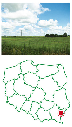
Location
Laszki District is located in the eastern part of the Sandomierz Valley, within the valley of the lower San and Tarnogród Plateau. The district is located in the basin of the Szkło River, which is a right tributary of the San River and is one of the 11 districts in the Jarosław County. It directly neighbours the following Districts: Radymno, Radymno-town, Jarosław, Wiązownica and Districts of the Lubaczów County: Oleszyce and Wielkie Oczy.
Laszki District is located in the eastern part of the Jarosław County, within the administrative boundaries of Podkarpackie Voivodeship. The eastern part of the county is 7 km long country border with Ukraine and is called a kind of “gateway to the East”. Laszki District consists of 13 areas of a number of villages. With an area of 138 km2 there are more than 7 thousand inhabited people. The average population density is 50 people per 1 km2. The district is typically agricultural. Approximately 75% of its area are farmlands (10 358 ha). The average farmsize is 5 acres. The main crops are corn crops and root crops. The local product of Laszki District is bean “piękny jaś” (giant bean). The beautiful forests, which cover 18,4% of the district, are the invitation for tourists. Through the area of District run county roads with a total length of 65km and railway line Munina-Hrebenne.